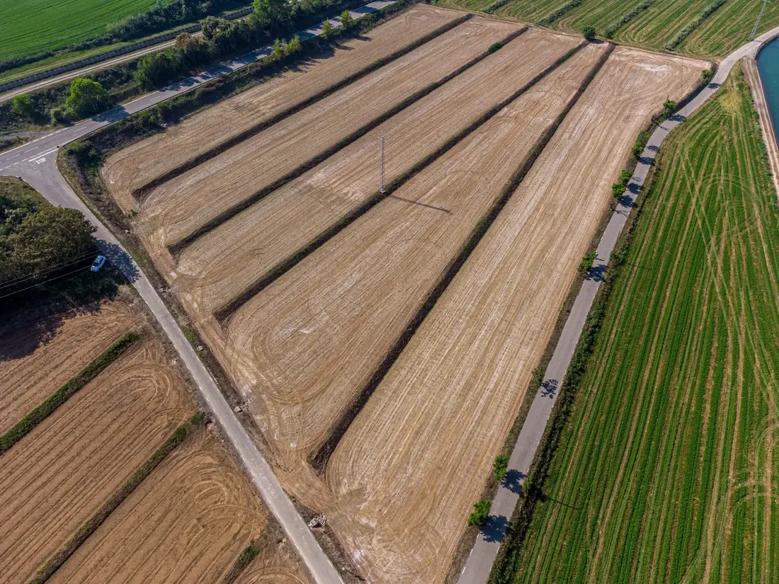
Orthophoto
A geometrically corrected, scaled image for measuring distances and areas.
GeoTIFF · JPG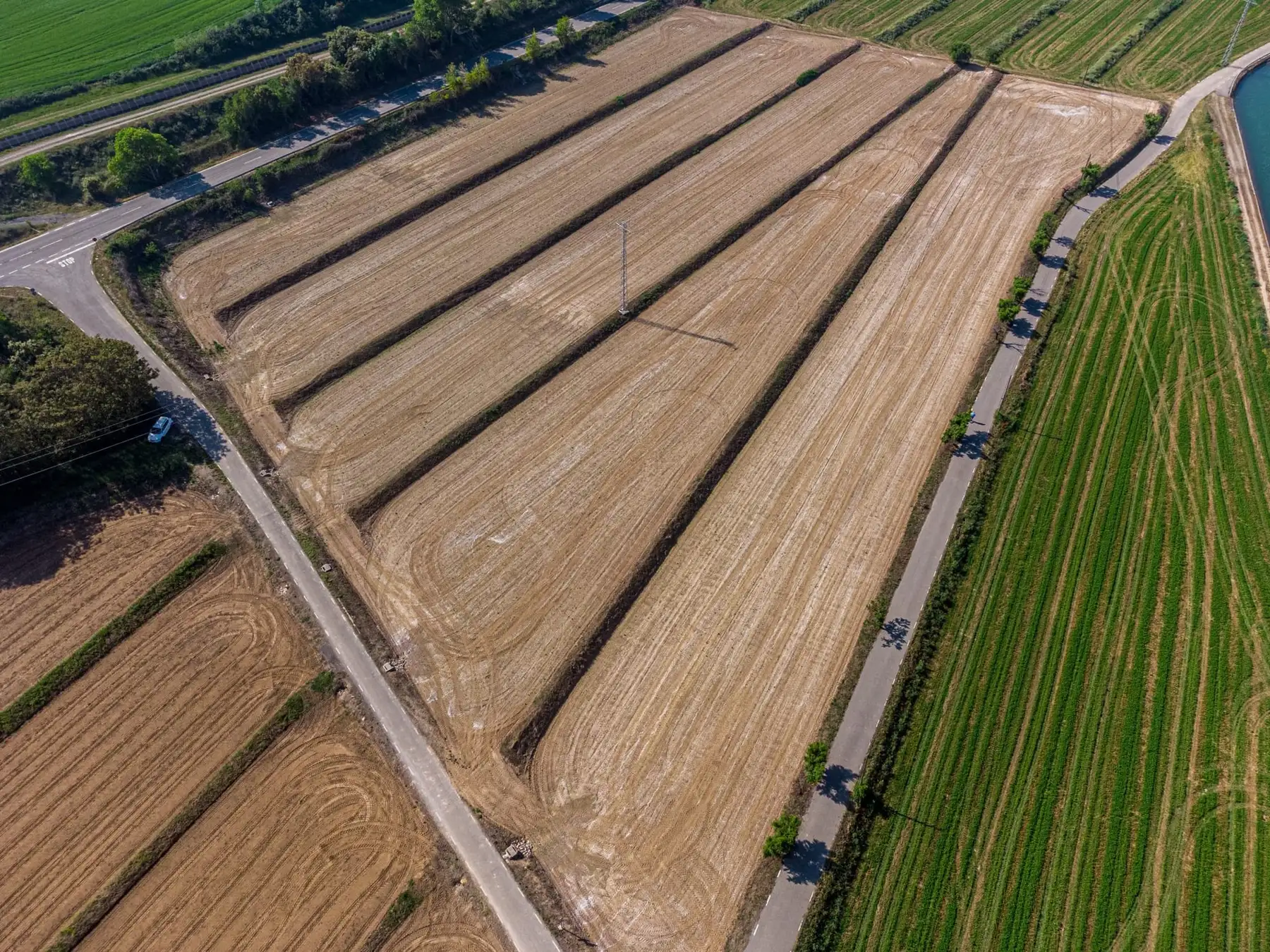
Drone surveying · DJI Matrice 4E
The office has expanded into terrain surveying with a professional mapping drone. We capture large areas, construction sites and inaccessible terrain faster and more completely — with survey-grade accuracy and results ready for the cadastre, design and quantity take-off.
Lawful and safe
The office holds all licences and permits required to operate the drone legally. The market is full of “aerial photographers” without them — and when something goes wrong, the client shares the consequences.
UAS operator registration under EU rules and Croatian regulations.
A remote pilot who has passed the exams for the categories we fly.
Checking geographical zones and obtaining authorisations where needed — before going on site.
Results tied to the national coordinate system and verified on check points.
From flight to data
We define the area, height and image overlap. On site we measure ground control points with GNSS RTK.
The drone autonomously flies the grid and takes hundreds of overlapping images with a mechanical shutter.
Photogrammetry produces a point cloud and a digital terrain model — millions of measured points.
Orthophoto, DTM, contours and a vector plan in HTRS96/TM — ready for your project.
Equipment
Figures from the manufacturer’s official specification (DJI Enterprise).
A geometrically corrected, scaled image for measuring distances and areas.
GeoTIFF · JPGDTM and DSM for contours, profiles, slope analysis and design.
GeoTIFF · XYZMillions of coordinated, coloured points for 3D analysis.
LAS · LAZA textured model of buildings, sites or terrain.
OBJ · 3D tilesExcavations, embankments and stockpiles measured over the whole surface.
PDF reportSurvey base maps for designers and the cadastre.
DWG · DXF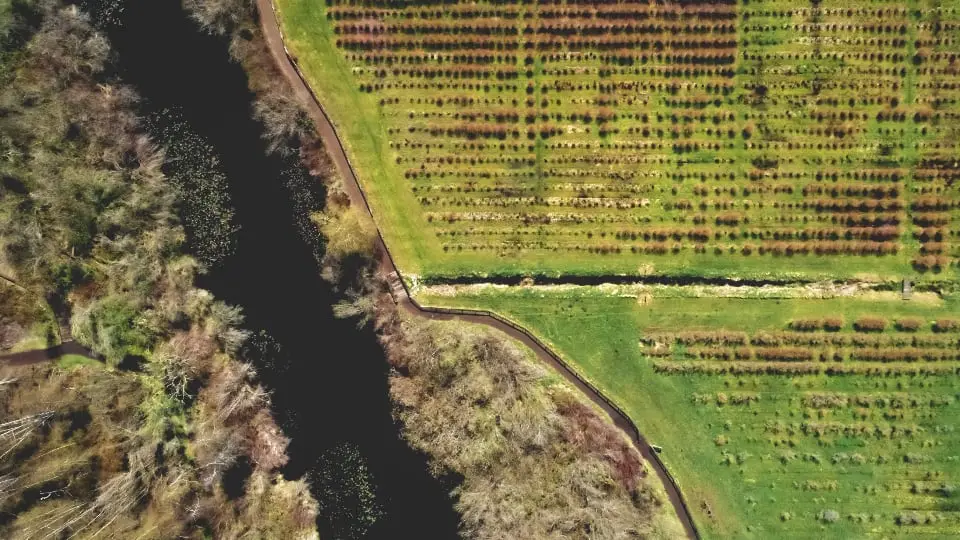 Orthophoto · sample
Official video
Video: DJI Enterprise (YouTube). Loads only after you click.
Insights
Anyone can buy a drone, but commercial capture requires registration, a trained pilot and compliance with the rules. What do you risk by hiring an unlicensed operator?
Read articleOrthophotos, 3D terrain models, point clouds and volumes — how drone surveying with the DJI Matrice 4E works and when it pays off versus a classic survey.
Read articleAccuracy depends on flight height, ground control, terrain and processing. We state it for each project and verify it on independent check points. The drone has an RTK module with 1 cm + 1 ppm horizontal positioning accuracy per the manufacturer’s specification.
Yes — and that is exactly why it matters whom you hire. Our office holds all required licences and permits. Before every flight we check geographical zones and obtain authorisation where needed.
Not always. A drone is ideal for larger, open and inaccessible areas. For boundaries under dense vegetation or details next to buildings we combine it with GNSS and a total station.
It depends on the area and the products required. The flight itself is short; most time goes into processing and quality control. We agree the deadline in advance.
Yes, by arrangement. We most often work in Bilje, Osijek, Baranja and wider Slavonia.